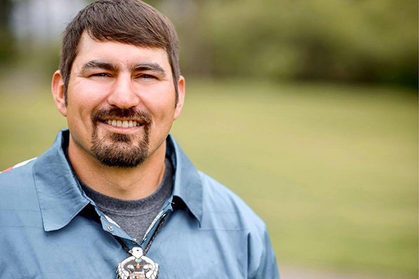
In the next installment of this year’s Two Medicine Voices Speaker Series on climate change, Blackfeet hydrologist Tyrel Fenner will discuss climate-related impacts on water resources and tribal-led efforts to improve drought resiliency. The presentation takes place Wednesday, May 24th at 7 p.m. at the East Glacier Park Community Hall. Like all talks in the series, it is free and open to the public and appropriate for all ages.
Glacier-Two Medicine Alliance’s Jordyn Steele recently sat down with Tyrel to learn more about his background and his work on water resources for the Blackfeet Nation. The conversation has been lightly edited for clarity and length.
1. Tell us a bit about yourself: where you were raised, where you went to school?
My name is Tyrel Fenner and I am a Blackfeet and Little Shell tribal member from the Babb area of the Blackfeet Nation. After working various hydrology related positions, like stream restoration, avalanche watch for the spring opening of the Going-to-the Sun Road, and guiding fishermen, I decided to attend Salish Kootenai College for a B.S. in their Hydrology Program. This was also during the time that the Blackfeet Water Compact was being finalized and settled so I thought there may be good water jobs when I returned home. It was also when the CSKT took over the formerly known Kerr dam, now called SKQ or Selis-Kasanka-Q’lispe dam, which was a big topic, too. Not to mention the Mni Wiconi Camp at Standing Rock protesting the Dakota Access Pipeline, creating the “Water is Life” movement and it just seemed that all throughout my undergraduate career, water became more and more a prominent topic. I guess you could say these are exciting times to be in the field of hydrology.
2. What influenced you to choose a career related to the environment?
I grew an interest in hydrology as I was raised near the headwaters of the continent in the St. Mary River Valley of Montana. My Grandpa, Bill Fenner, had the lease on the St. Mary KOA and at the time it was named Triple Divide Campground, along with his outfitting business. So when I was a kid, I was interested in what Triple Divide meant and it got me thinking about where all the water flows and why as it runs off the “Backbone of the World”. I guess I was just always around the water and found that it brought me joy, so it made sense to find a career that kept me in and around it.
3. This year's speaker series explores how climate change is affecting the environment and people here in the Crown of the Continent ecosystem and various efforts to enhance resilience. What are some of the most notable effects of climate change that the Blackfeet Nation is experiencing?
Drought is the big one. It can be seen throughout the reservation and in the headwater streams of Glacier Park and the Birch-Badger-Two Medicine tributaries that feed the Blackfeet Nation and many, many, many more downstream water users. Drought conditions may be shown in the hundred year-old USGS stream gauge data sets but are also being witnessed by members of the Blackfeet Nation who are noticing less annual precipitation. For us in the northern plains and on the Rocky Mountain Front, wetlands usually look like prairie pot holes that are often used for watering cows and other livestock. It is very clear that our prairie potholes are not receiving as much water inputs as they used to and as a result, many are going dry earlier and earlier in the season.
So, I’m helping out a bit with the implementation of the Blackfeet Climate Adaptation Plan with the installation of snow fences, like the ones that are seen along highways. We have snow labs around Browning with different types of snow fences to compare designs and results. The star of the designs has to be the woven willow, which is based on our traditional ecological knowledge. Besides producing large amounts of snow accumulation, results also include a very attractive finished product! We are looking to install more as there has been a lot of interest from the community, area ranchers and conservationists because “what’s good for the bird - is good for the herd”.
4. What are your favorite projects you do with the Water Department?
Working on USGS gauge stations and assessing sites for new gauges and weather stations have been my favorite projects so far and will likely continue to be my focus in my position with the Blackfeet Water Department. I enjoyed putting up my woven willow design snow fences and the water department has the ability to set up more but there has just been lots going on with the water compact implementation. So, we are hoping to find time to set a few more up possibly this summer - I definitely have some places in mind.
My favorite studies have been a Birch Creek study and also one on Cut Bank Creek. We’ve done seepage runs on Birch Creek where a bunch of hydrographers gather and measure the whole length of the stream in one day. It tells you where you are gaining or losing ground water and surface water through what hydrologists know as the “hyporheic zone”. We’re doing the Birch Creek study in partnership with USGS and DNRC so we did four of them and the reason was to gain an increased understanding of flow regime, instream flows, irrigation diversions, and gaining and losing reaches. Reaches are a section of the river that can be the upper, lower or mid but are usually divided into smaller sections. We are currently working on producing an official USGS report that should be published later this summer
The Cut Bank study has two observation wells, one shallow and one deep, nested next to each other about 100 yards from a stream gauge that was installed recently on a tribal ranch in partnership with USGS and DNRC. This study area effectively shows the seasonality of ground water and surface water interaction (hyporheic zones) so that we can see when the stream is influenced by surface water runoff from the plains and when it’s influenced by surface water runoff from the mountains and how it interacts with the ground water of the wells. We can find this by comparing the hydrographs of the three as well as other gages within the system. Weather data like precip and temp as well as SNOTEL hydrographs and their associated SWE measuremants all help tell the story which we are still analyzing but hoping to shed more light on that at the presentation in East Glacier on the 24th.
5. From your perspective, why are these hydrology projects important for the Blackfeet Nation's effort to address climate change?
We’re seeing the need to further develop our network of instrumentation including atmospheric and hydrologic data to quantify water coming in and out of the Blackfeet Nation as well as to develop our own hundred-year old data sets, expanding on what the USGS, NRCS, and DNRC have done in their measurement programs. We also know the value of our Traditional Ecological Knowledge and believe that the future of natural resource management includes the blending of high-tech devices, such as gauge stations and weather stations, with the high TEK knowledge Indigenous people hold and have always held. Having received my education through a tribal college (Salish-Kootenai College) and immediately returning to work for my tribe, I have been able to maintain my tribal identity and have continued learning through the old ways of knowing that have always been present on this land, as well as through working with other agencies to create an accurate water budget for the Blackfeet Nation and other stakeholders in this vast water resource that originates right here in our ancestral homelands, the “Land of Shining Mountains” along the “Backbone of the World”.
